10 Best Scenic Viewpoints in Boston (Costs & Tips, 2026)
10 of the best scenic viewpoints in Boston, MA — your local answer to the world's best, picked for real costs and real local tips. Save one, track your experiences, and share them with friends.
Find & track best near you →
Find your best local scenic viewpoints
🔍 Search “your city best scenic viewpoints”
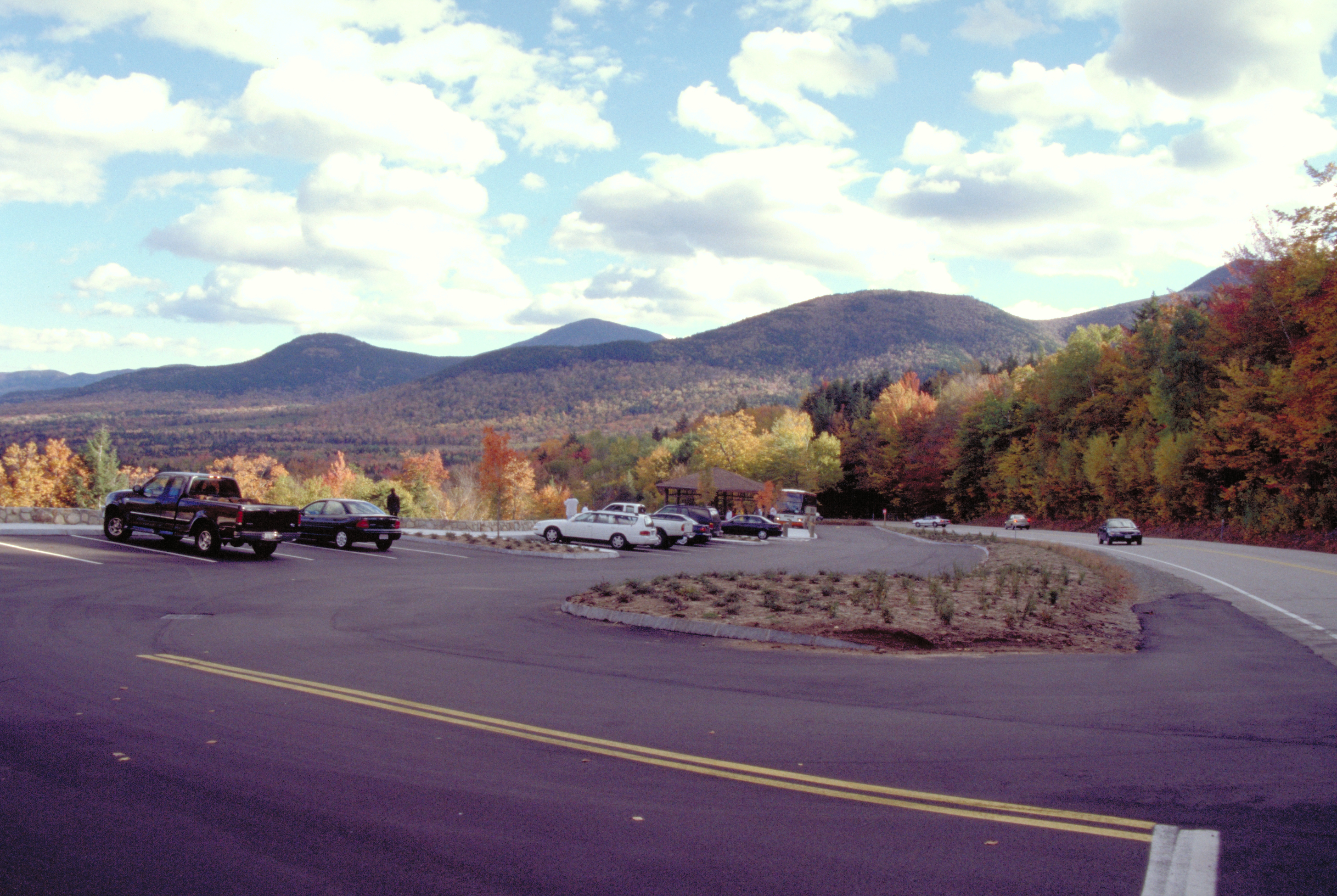
Sugar Hill Overlook, Kancamagus Highway, NH, USA
Sugar Hill Overlook, Kancamagus Highway, NH, USA
One of the most photographed views in New England happens to require zero effort to reach — a paved pull-off right on the Kancamagus Highway with the Sabbaday Range spread out below in full color by early October. Free, no ticket, no hike; just find parking among the other cars that had the same idea. Arrive before 10am on a peak weekend or the pull-off itself becomes the challenge.

Mount Washington Summit, NH, USA
Mount Washington Summit, NH, USA
At 6,288 feet, it's the highest point in the Northeast and famous for genuinely dangerous weather — the second-highest wind speed ever recorded on Earth's surface was clocked here in 1934. The Auto Road gets you up in about 30 minutes for roughly $45 per vehicle including the driver; the Cog Railway costs more but does the driving for you; the Tuckerman Ravine Trail gets you there free in a full day's hike. However you arrive, the summit view on a clear fall day reaches into four states.

Cathedral Ledge, North Conway, NH, USA
Cathedral Ledge, North Conway, NH, USA
A paved road runs almost to the top of this granite cliff, leaving just a short walk to a view over the Saco River valley and Mount Washington Valley's foliage in full spread — genuinely one of the easiest big views in the White Mountains to reach. Rock climbers use the cliff face itself; you don't need to be one to get the same view from the top. Small state park day-use fee, around $4.
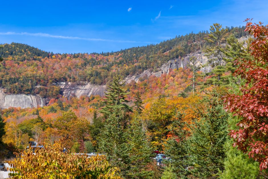
Artist's Bluff, Franconia Notch State Park, NH, USA
Artist's Bluff, Franconia Notch State Park, NH, USA
Half a mile each way and maybe 20 minutes of actual climbing gets you a view over Echo Lake and Cannon Mountain that a lot of people drive hours for and never realize is this close to the parking lot. It's the single best effort-to-payoff ratio in Franconia Notch, and free — no state park fee applies to this particular trailhead. Go early; the small pull-off lot fills fast on foliage weekends.
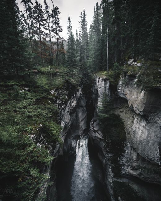
Quechee Gorge Bridge Overlook, Quechee, VT, USA
Quechee Gorge Bridge Overlook, Quechee, VT, USA
The bridge itself does the work here — park at either end and walk out onto the sidewalk for a straight-down view into a 165-foot gorge the Ottauquechee River carved through basalt. Nicknamed Vermont's Little Grand Canyon, which oversells the scale but not the drama of standing on a bridge over it. Free, and the whole stop takes fifteen minutes if you're not lingering for photos.
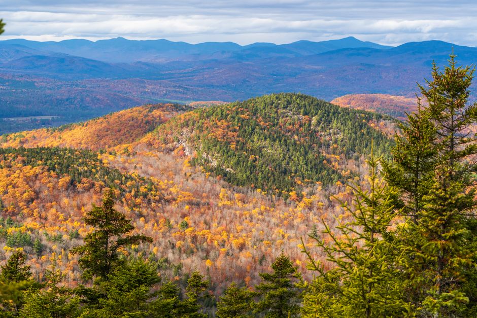
Hogback Mountain Scenic Overlook, Marlboro, VT, USA
Hogback Mountain Scenic Overlook, Marlboro, VT, USA
Route 9 climbs to this pull-off and delivers what's billed, not always accurately in this business, as a genuine 100-mile view across three states. There used to be a ski area here; now it's just the overlook, a small gift shop, and a lot of car doors opening at once during peak foliage weekends. Free, five minutes from the road, worth exactly that five minutes.

Mount Mansfield Summit, Stowe, VT, USA
Mount Mansfield Summit, Stowe, VT, USA
Vermont's highest point, shaped like a reclining face if you squint at the ridgeline from a distance — the Toll Road (about $34 per vehicle) and the gondola (around $36 per person) both get you close to the summit ridge, leaving a short rocky walk to the actual high point. Hiking up any of the Long Trail approaches is free and takes most of a day. The exposed ridge means genuinely different weather than the valley below, so bring a layer even in October.

Mount Equinox Skyline Drive Summit, Manchester, VT, USA
Mount Equinox Skyline Drive Summit, Manchester, VT, USA
A five-mile toll road, the longest paved private road in the eastern US, switchbacks to a 3,835-foot summit with a view over the Battenkill Valley that most people driving Route 7A never realize is up there. Toll runs about $25 per car plus a few dollars per extra passenger — steeper than most entries on this list, but it's also one of the only summit views in the region you can drive to entirely, no hike required at all.
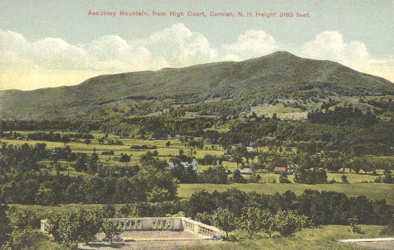
Mount Ascutney Summit, Windsor, VT, USA
Mount Ascutney Summit, Windsor, VT, USA
No road reaches the top anymore, which keeps this one honest — the Weathersfield Trail is about 2.9 miles up, steep in the last stretch, ending at a fire tower with a 100-mile view across the Connecticut River Valley into New Hampshire. Free, but budget most of a day: figure four to five hours round trip if you're stopping to actually enjoy the summit.

Camel's Hump Summit, Huntington, VT, USA
Camel's Hump Summit, Huntington, VT, USA
One of the only Vermont peaks over 4,000 feet with no road, ski lift, or building anywhere near the top — federal and state protections have kept it that way on purpose, which is part of why the 360-degree summit view feels more earned than most on this list. The Monroe Trail is the most direct route at just under 7 miles round trip. Free, but this is a real hike, not a scenic pull-off; plan for most of a day.
Frequently asked questions
How much does Sugar Hill Overlook, Kancamagus Highway, NH, USA cost?
Free. One of the most photographed views in New England happens to require zero effort to reach — a paved pull-off right on the Kancamagus Highway with the Sabbaday Range spread out below in full color by early October. Free, no ticket, no hike; just find parking among the other cars that had the same idea. Arrive before 10am on a peak weekend or the pull-off itself becomes the challenge.
How much does Mount Washington Summit, NH, USA cost?
45 USD. At 6,288 feet, it's the highest point in the Northeast and famous for genuinely dangerous weather — the second-highest wind speed ever recorded on Earth's surface was clocked here in 1934. The Auto Road gets you up in about 30 minutes for roughly $45 per vehicle including the driver; the Cog Railway costs more but does the driving for you; the Tuckerman Ravine Trail gets you there free in a full day's hike. However you arrive, the summit view on a clear fall day reaches into four states.
How much does Cathedral Ledge, North Conway, NH, USA cost?
4 USD. A paved road runs almost to the top of this granite cliff, leaving just a short walk to a view over the Saco River valley and Mount Washington Valley's foliage in full spread — genuinely one of the easiest big views in the White Mountains to reach. Rock climbers use the cliff face itself; you don't need to be one to get the same view from the top. Small state park day-use fee, around $4.