10 Best Road Trip Routes in Boston (Costs & Tips, 2026)
10 of the best road trip routes in Boston, MA — your local answer to the world's best, picked for real costs and real local tips. Save one, track your experiences, and share them with friends.
Find & track best near you →
Find your best local road trip routes
🔍 Search “your city best road trip routes”

Kancamagus Highway (NH Route 112), White Mountains, USA
Kancamagus Highway (NH Route 112), White Mountains, USA
Thirty-four miles, zero tolls, and consistently ranked among the best fall drives in the country — the road climbs to a 2,860-foot pass between the Sabbaday and Hancock ranges without a single traffic light along the way. Sugar Hill and Hancock Overlooks are the two pull-offs worth actually stopping the car for; everything else you'll see fine through the windshield. Foliage usually peaks here in early-to-mid October, about a week ahead of the coast.
Vermont Route 100, Killington to Stowe, USA
Vermont Route 100, Killington to Stowe, USA
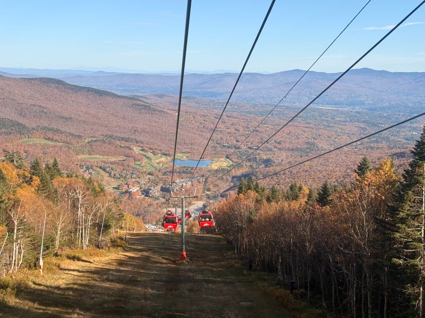
Vermonters call this their 'main street' for a reason — it runs the length of the state hugging the Green Mountains' eastern edge, and the stretch between Killington and Stowe is where the foliage drive actually earns the reputation. Budget a full day if you're stopping in Waitsfield or Warren for cider and maple; drive it straight through and it's closer to three hours. No fee, obviously — it's a state highway, not a park.

Franconia Notch Parkway (I-93), New Hampshire, USA
Franconia Notch Parkway (I-93), New Hampshire, USA
An eight-mile stretch where the interstate narrows to a single lane each way to fit between Cannon Mountain and the Franconia Ridge — slow down, because that's the point. The Old Man of the Mountain collapsed in 2003, but the viewing site at Profile Lake still marks where the granite profile used to face, and Cannon Mountain's aerial tramway is right there if you want the ridge view without the climb. Free to drive; the tramway ticket is the only cost involved.

Mount Washington Auto Road, New Hampshire, USA
Mount Washington Auto Road, New Hampshire, USA
"This car climbed Mt. Washington" bumper stickers have been a real thing since 1861, when this was a stagecoach road — today it's 7.6 miles of pavement and gravel switchbacks to the highest point in the Northeast, 6,288 feet, with weather that can shift from foliage-perfect to whiteout in the time it takes to reach the summit. Per-vehicle toll runs around $45 including the driver, plus a few dollars per extra passenger. Hiking up is free if you'd rather earn the same view over several hours instead of twenty minutes.

Smugglers' Notch Road (VT Route 108), Stowe, USA
Smugglers' Notch Road (VT Route 108), Stowe, USA
The road threads a genuinely narrow gap between Mount Mansfield and Sterling Mountain, tight enough that RVs and trailers are banned outright, and it closes completely every winter once the snow makes the hairpins unsafe. That closure is exactly why it's worth timing a fall drive here before the state shuts the gate — usually mid-to-late October. Free, no permit, just patience for the switchbacks.
Molly Stark Byway (VT Route 9), Brattleboro to Bennington, USA
Molly Stark Byway (VT Route 9), Brattleboro to Bennington, USA
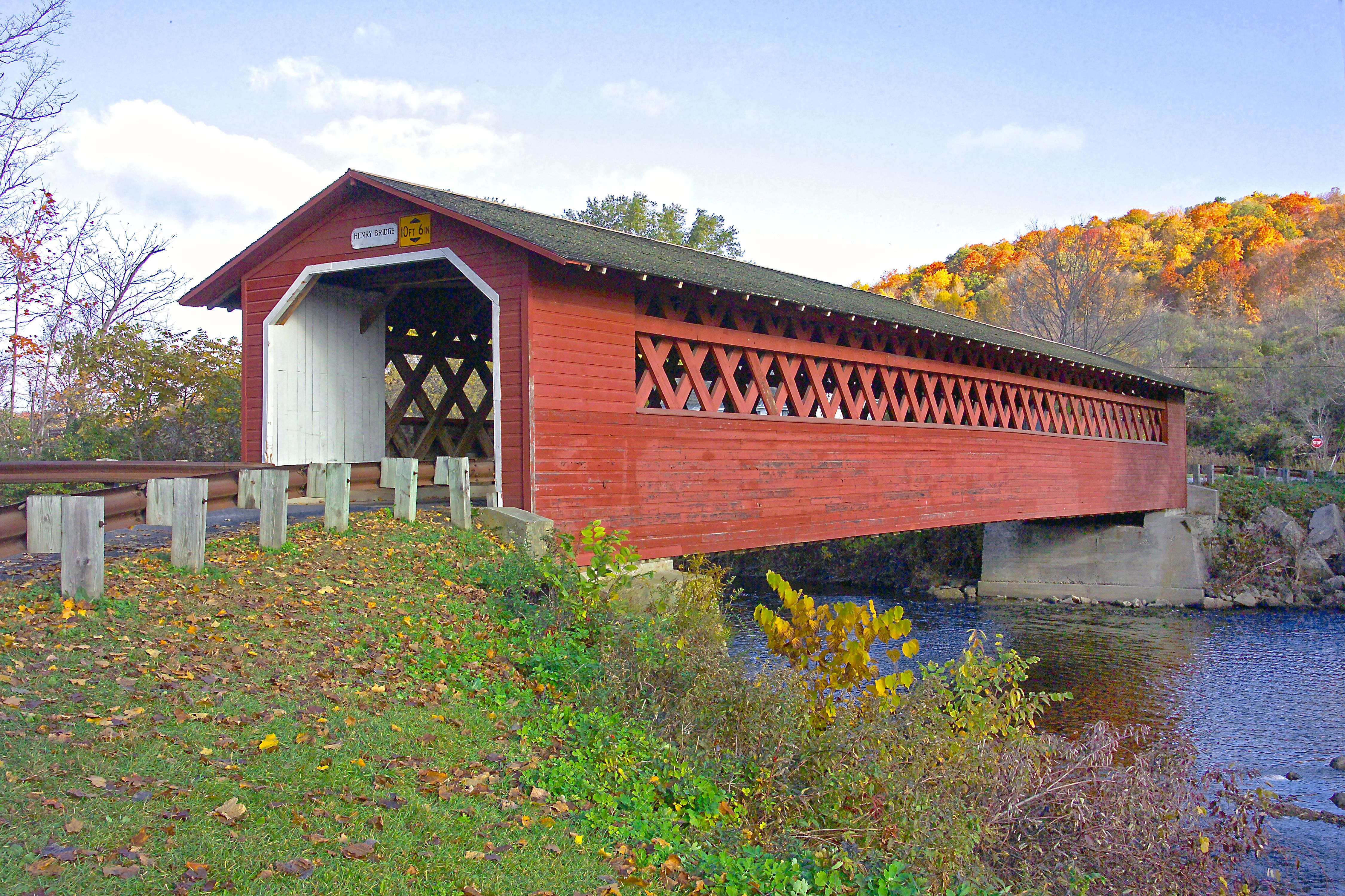
Named for the wife of a Revolutionary War general, this 40-mile stretch of Route 9 crosses the state east to west through Wilmington and Marlboro, with the Hogback Mountain overlook about halfway as the natural place to pull over. It's a working road, not a tourist loop, so expect regular traffic alongside the leaf-peepers. Two hours point to point without stops, free the entire way.
Crawford Notch (US Route 302), New Hampshire, USA
Crawford Notch (US Route 302), New Hampshire, USA
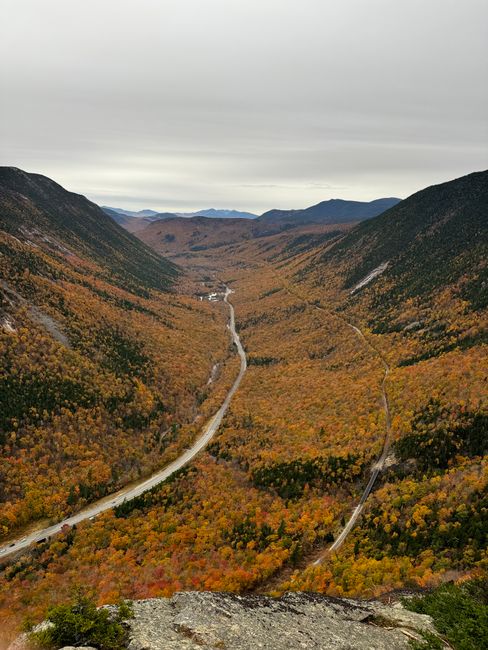
US 302 squeezes between cliffs steep enough that early surveyors doubted a road could go through at all — it eventually did, and now cuts straight through Crawford Notch State Park past Arethusa Falls' trailhead and the grand old Mount Washington Hotel. Roadside pull-offs are free; parking at the Arethusa Falls lot runs a small day-use fee if you want to add the hike. Give it two hours if you're stopping for photos.
Quechee Gorge Road (VT Route 4), Woodstock to Quechee, USA
Quechee Gorge Road (VT Route 4), Woodstock to Quechee, USA
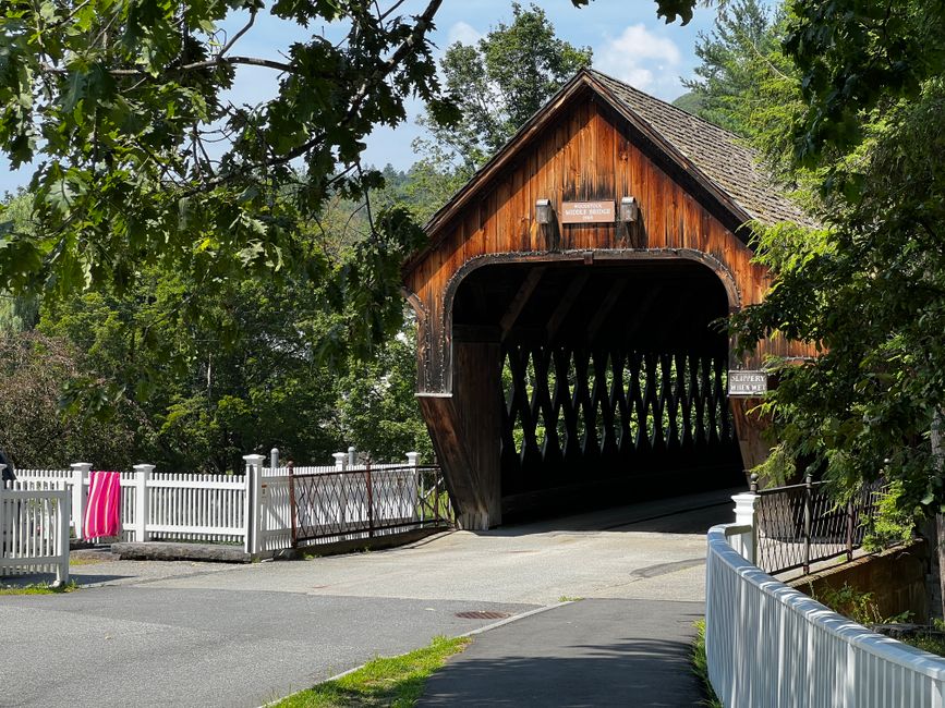
Route 4 connects two of Vermont's most photographed spots without much effort — Woodstock's covered bridges and green, then a short drive to the bridge over Quechee Gorge, nicknamed Vermont's Little Grand Canyon despite being a fraction of the size. The gorge overlook is a five-minute stop, not a destination in itself, which makes it easy to pair with a longer day. Entirely free; about two hours including a coffee stop in Woodstock.
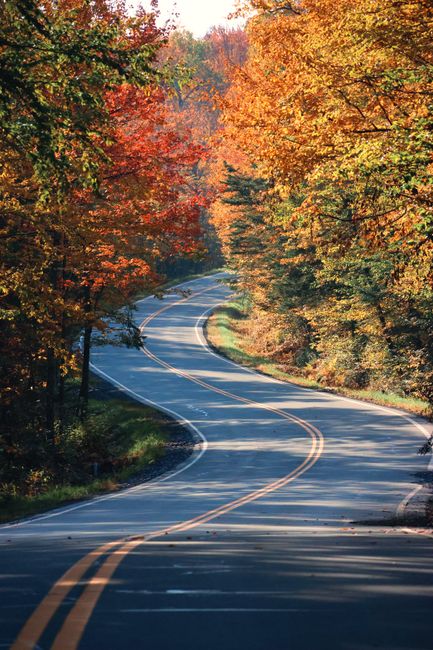
Vermont Route 30, Manchester to Newfane, USA
Vermont Route 30, Manchester to Newfane, USA
Quieter than Route 100 and less traveled because of it — this run through the West River Valley passes through Jamaica and Townshend before ending in Newfane, one of the state's better-preserved 19th-century town greens. No major overlooks to chase, just a steady, unhurried foliage tunnel through the valley. Free, roughly two and a half hours if you actually stop in the towns instead of driving through them.
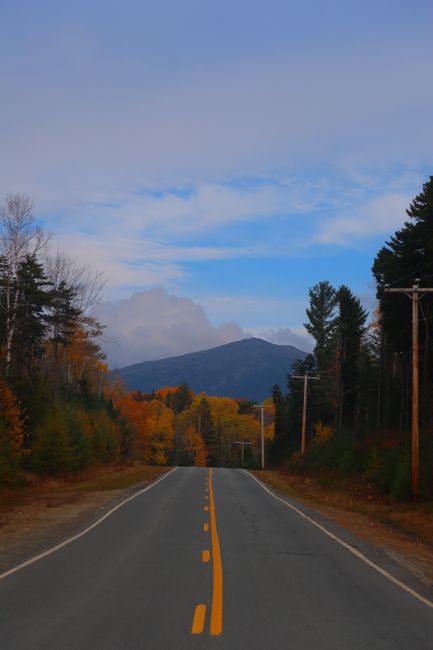
NH Route 16 through Pinkham Notch, Conway to Gorham, USA
NH Route 16 through Pinkham Notch, Conway to Gorham, USA
This is the approach road most Mount Washington hikers use without realizing it's also one of the better standalone drives in the White Mountains — Pinkham Notch Visitor Center sits roughly at the midpoint, with Glen Ellis Falls a five-minute walk from a roadside pull-off. Free, and usually less crowded than the Kancamagus on the same October weekend since it doesn't have the same national reputation yet.
Frequently asked questions
How much does Kancamagus Highway (NH Route 112), White Mountains, USA cost?
Free. Thirty-four miles, zero tolls, and consistently ranked among the best fall drives in the country — the road climbs to a 2,860-foot pass between the Sabbaday and Hancock ranges without a single traffic light along the way. Sugar Hill and Hancock Overlooks are the two pull-offs worth actually stopping the car for; everything else you'll see fine through the windshield. Foliage usually peaks here in early-to-mid October, about a week ahead of the coast.
How much does Vermont Route 100, Killington to Stowe, USA cost?
Free. Vermonters call this their 'main street' for a reason — it runs the length of the state hugging the Green Mountains' eastern edge, and the stretch between Killington and Stowe is where the foliage drive actually earns the reputation. Budget a full day if you're stopping in Waitsfield or Warren for cider and maple; drive it straight through and it's closer to three hours. No fee, obviously — it's a state highway, not a park.
How much does Franconia Notch Parkway (I-93), New Hampshire, USA cost?
Free. An eight-mile stretch where the interstate narrows to a single lane each way to fit between Cannon Mountain and the Franconia Ridge — slow down, because that's the point. The Old Man of the Mountain collapsed in 2003, but the viewing site at Profile Lake still marks where the granite profile used to face, and Cannon Mountain's aerial tramway is right there if you want the ridge view without the climb. Free to drive; the tramway ticket is the only cost involved.